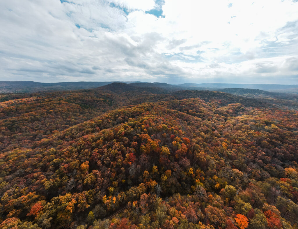
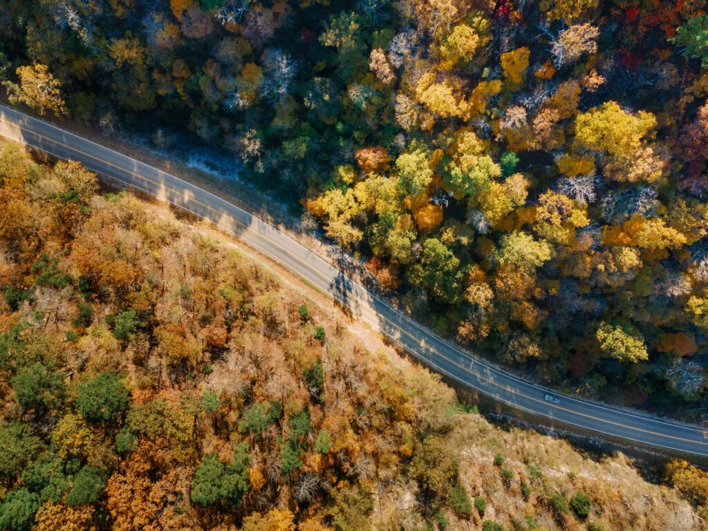
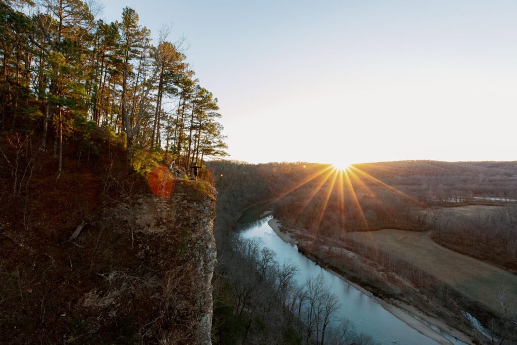
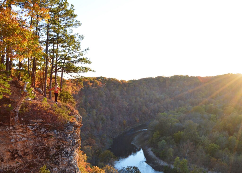
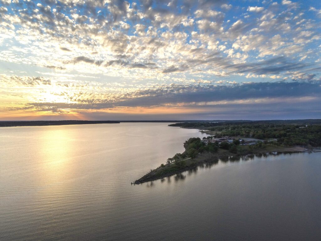
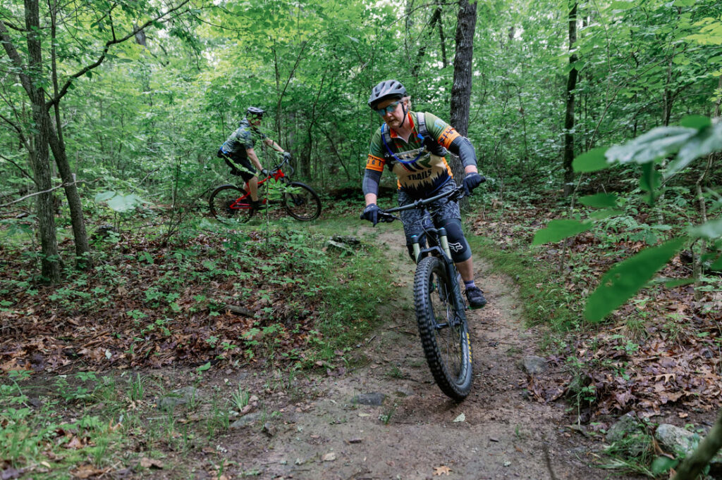
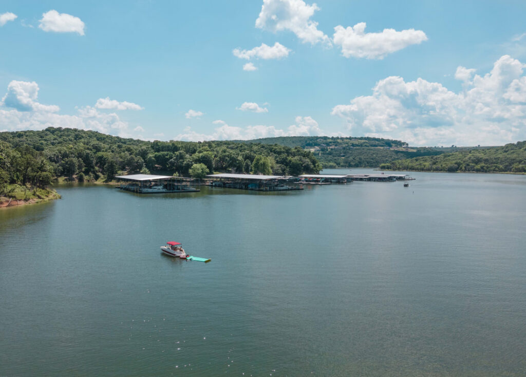
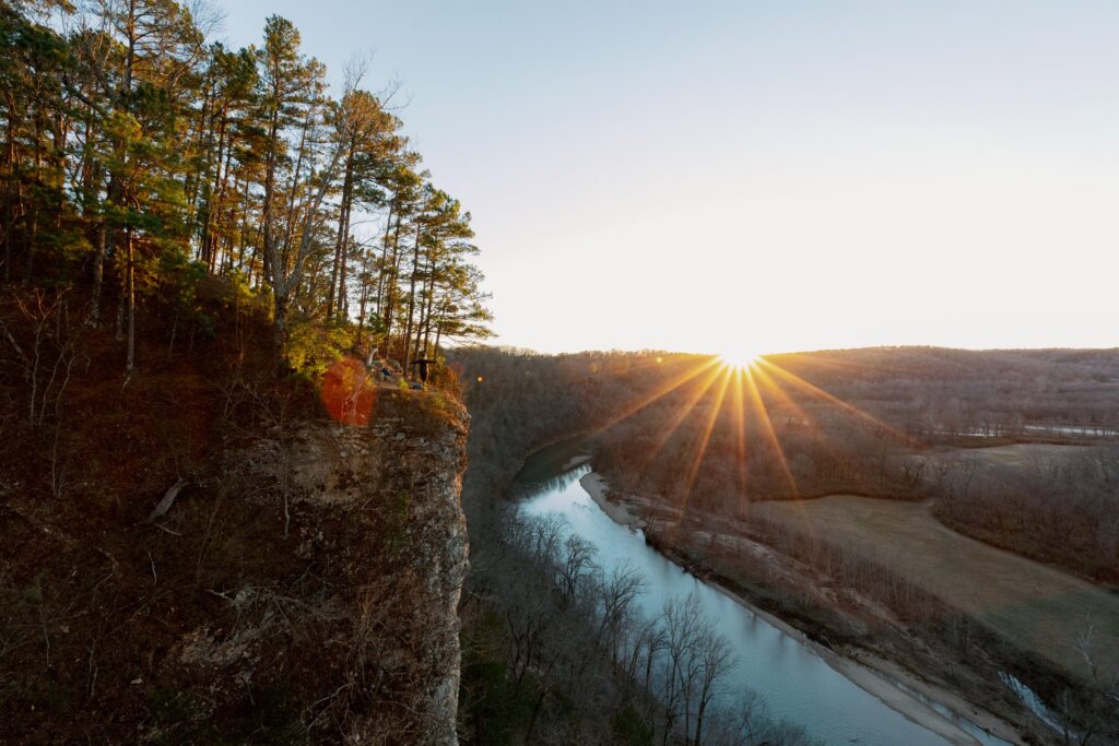
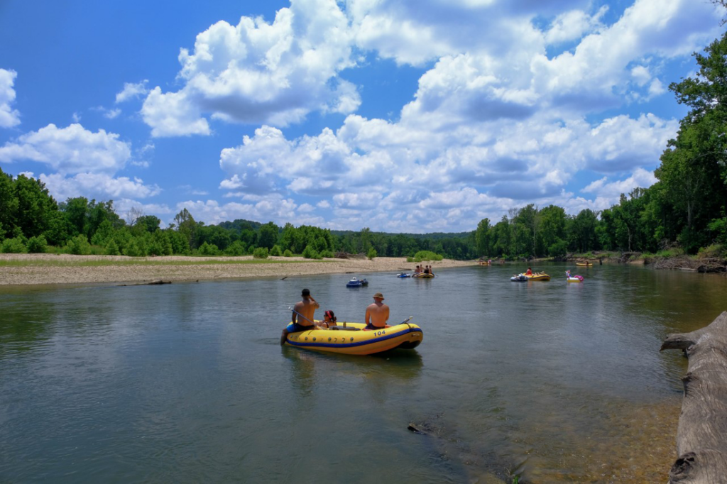
Tahlequah offers two kinds of riding close enough to pair in one weekend: purpose-built singletrack at Welling Ridge Trails, twelve minutes from downtown, and county gravel that climbs out of the Illinois River valley, where two organized rides run this fall. Ride Hathaway Hollow’s pines, planted by a local teacher’s students, in the morning, and spend the afternoon on open gravel ridges. For every trail in the county, start with our hiking and biking in Cherokee County page.
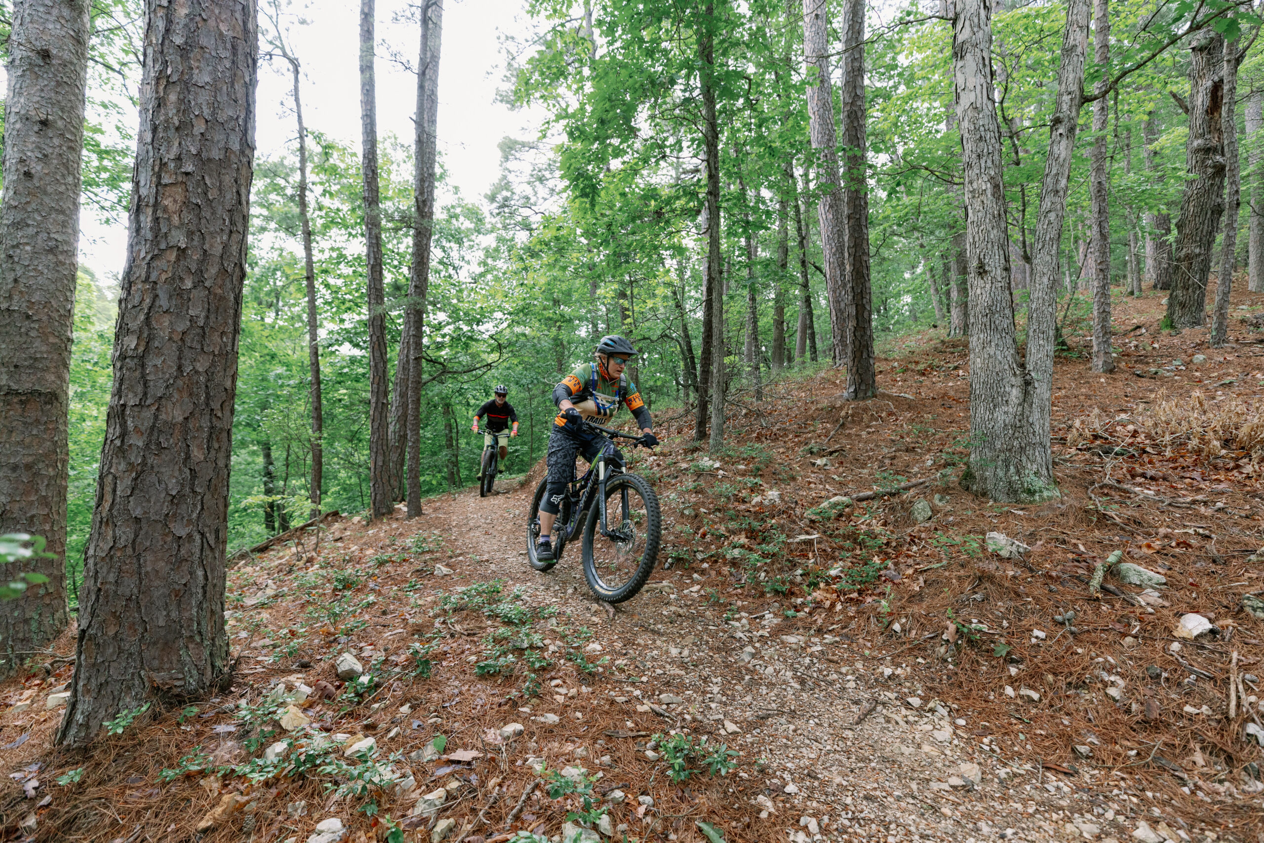
Welling Ridge Trails, the short version
Welling Ridge Trails sits at 19679 S. 550 Road, just east of Tahlequah, close enough to ride a loop and be ordering lunch on Muskogee Avenue without rearranging the day.
The park covers 200 acres and holds just over 8.75 miles of mountain bike and hiking trail, according to the Tahlequah Trails Association: approximately 2.7 miles of green (easiest) and nearly 6 miles of blue (more difficult) singletrack. Older listings, including Trailforks, still show about 4 miles. Use the association’s figure.
That ratio is the headline. Welling Ridge is not a beginner park with a token expert loop, and it is not a shuttle-fed gravity zone. It is an intermediate system where a newer rider can link the greens all morning and a stronger rider can stack the blues into a full workout.
| Welling Ridge basics | Details |
|---|---|
| Hours | Sun up to sun down, 365 days a year unless closed for weather, maintenance, events or unsafe conditions |
| Cost | No user fees required |
| Managed by | The Tahlequah Trails Association, a 501(c)(3) nonprofit and local partner of IMBA, which builds and maintains natural-surface trails in Cherokee County |
| Use | About 9,291 visitors in 2024, according to the March 2025 trail update |
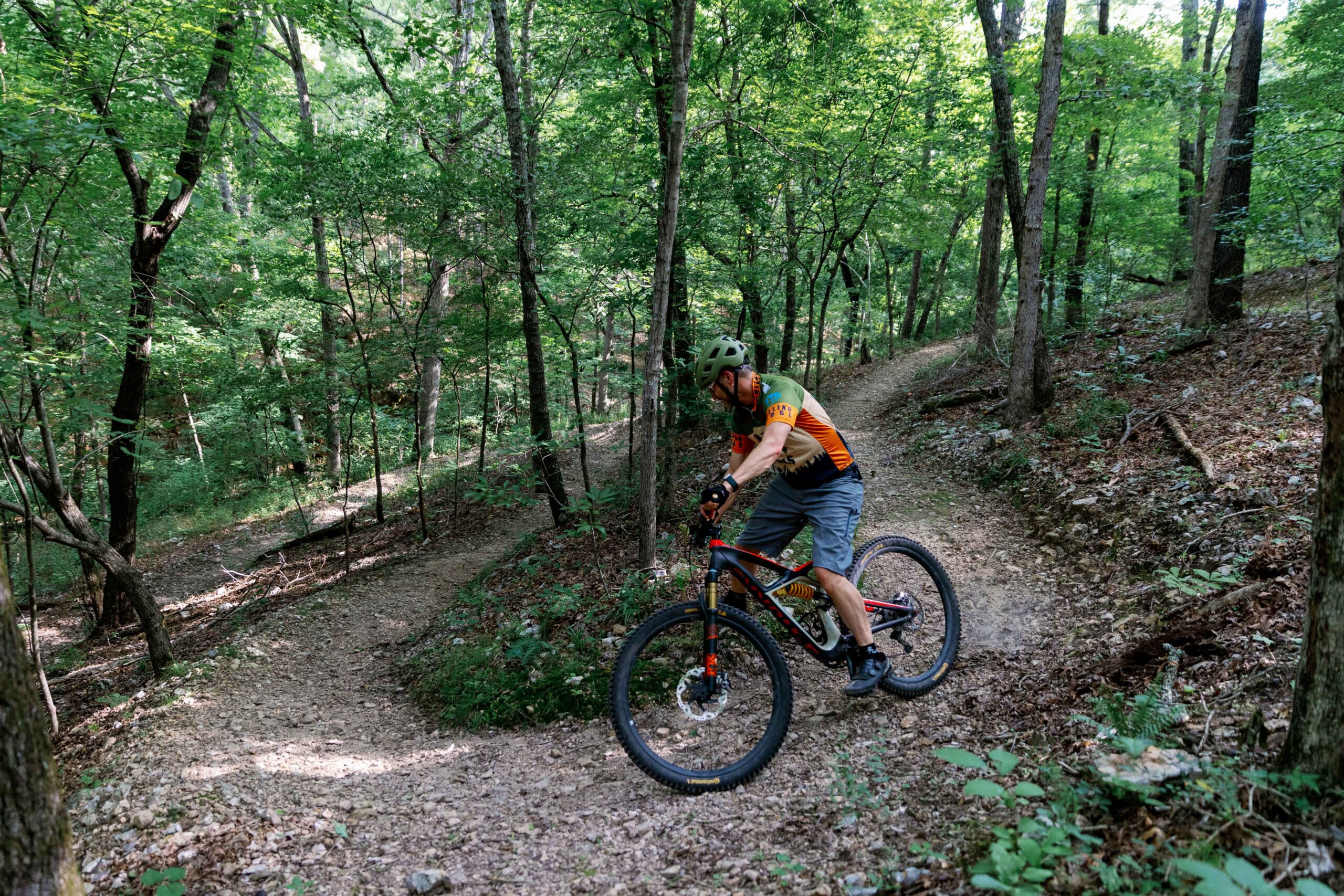
The five trails, by color
Five named trails make up the system.
Green: Little Brother and Big Brother
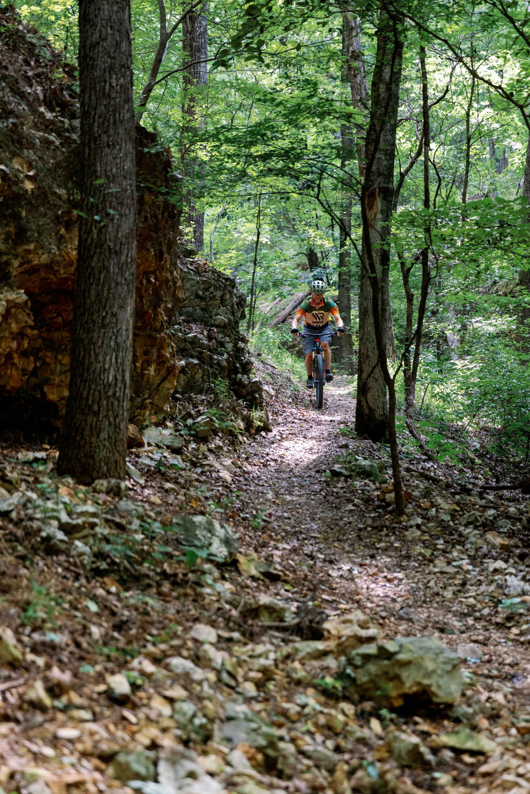
The easiest grades in the system, and the right place for a first ride on natural-surface trail. Ride them first anyway: they show you how these hillsides are cut before you commit to the blues.
Blue: Wildfire, Rocky Rogue and Hathaway Hollow
Our trail update explains how Hathaway Hollow and Rocky Rogue got their names.
Before you go: e-bikes, dogs and current trail conditions
The association's FAQ sets the rules.
E-bikes: Class 1 only
Class 1 means pedal-assist with no throttle. Class 2 and Class 3 e-bikes, horses and motorized off-road vehicles of any kind are not allowed on the trails at any time. If you are unsure of your bike's class, check the label on the frame before you drive out.
Dogs allowed, on a leash
Leashed dogs are welcome. You will share the trail with hikers and trail runners, so call out early and slow down for people on foot.
Current trail conditions
Check the WRT - Trail Conditions Facebook group before you drive. Closures for rain, maintenance or events are posted there, and the association has the final say on when trails are open. Riding a closed trail does damage volunteers have to repair.
Maps
A trail map is posted at the kiosk in the parking lot. You can also download the printable map from the Welling Ridge Trails page, or use Trailforks or AllTrails on your phone.
At the trailhead
There is one trailhead. The parking lot has a bike skills track for warming up, picnic tables and a restroom near the entrance. The park is tobacco-free, and no ignition sources are allowed on the property.
Gravel season: two organized rides this fall
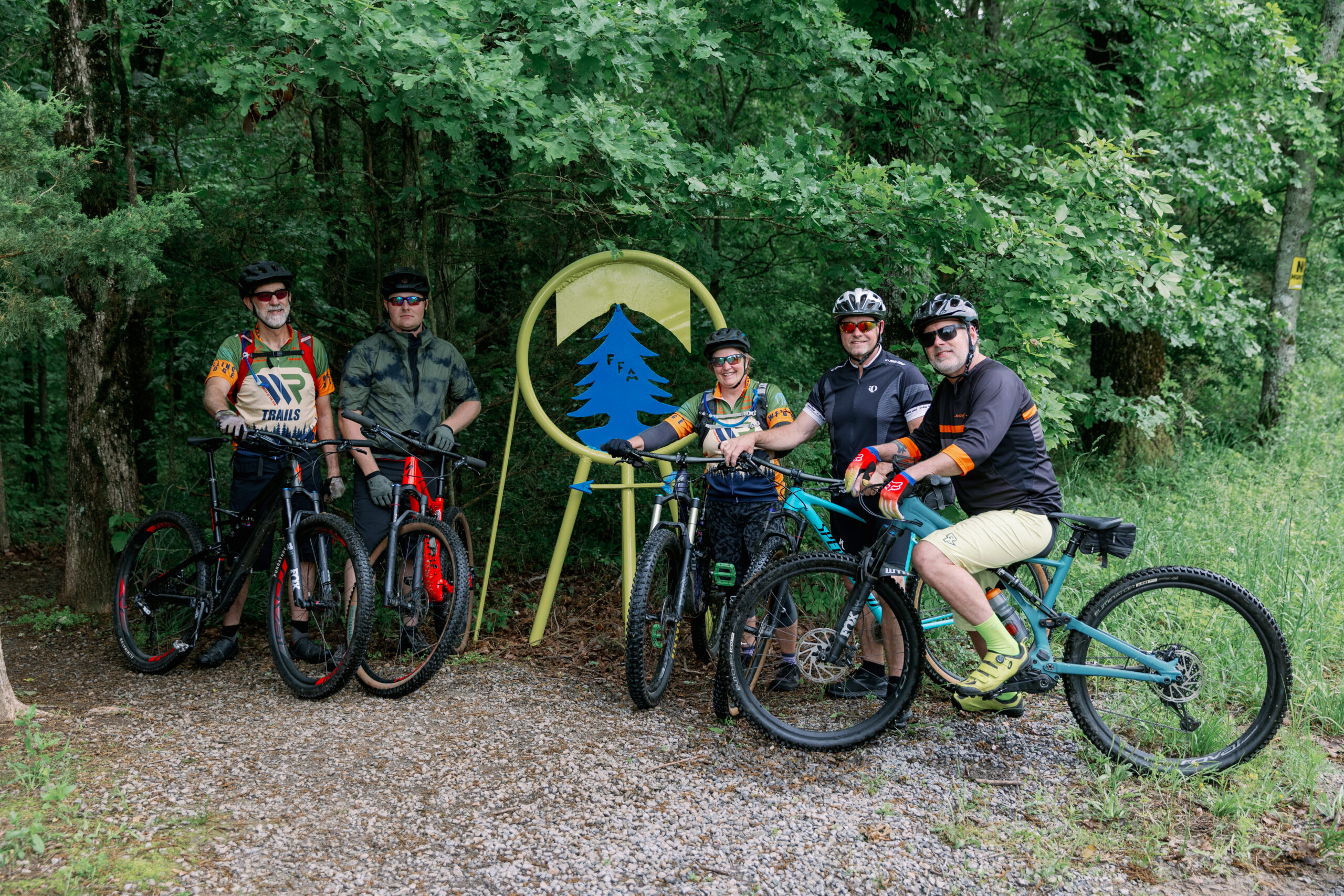
Singletrack is the technical half of riding here; gravel is how you see the county. The backroads climb out of the river bottoms onto open ridges and drop back through hollows on the western edge of the Ozark Plateau. As the Illinois River Ramble's organizers warn, this part of Oklahoma "ain't flat."
If you are new to it, gravel riding means unpaved county roads on a bike with wider, lightly treaded tires. There are no rock gardens. The surface is loose stone and packed dirt, the skill is staying relaxed when the bike shifts under you, and the work is in the climbing.
Pumpkin Holler Gravel Smasher: Sunday, October 18, 2026
The organizers describe the Gravel Smasher as an introductory course for riders doing their first endurance gravel event, while warning that even the 30-mile loop has plenty of climbing. The 70-mile option adds a 10-mile out-and-back across The Nature Conservancy's J.T. Nickel Family Nature & Wildlife Preserve, which the organizers call "by far the most challenging section." Riders share the roads with Pumpkin Holler Hunnerd runners finishing their final loop of a 100-mile race, so cheer them on. You can reach the start along the Highway 10 drive past Eagle Bluff, part of the Cherokee Hills Byway route.
Illinois River Ramble: Saturday, November 14, 2026
The Ramble is in its third year and is hosted by the Tahlequah Trails Association, the same group that manages Welling Ridge. Its organizers call it "a ride not a race." The finish line has complimentary food and drinks from Downing Brewery, which brews in the northwest corner of Cherokee County. Final routes are emailed to registered riders before the event. For more on the calendar, see Cherokee County events.
Riding in from Bentonville (or Tulsa)
Bentonville is often called the mountain biking capital of the world, and Tahlequah is about 1 hour 36 minutes away by car. Riders from Northwest Arkansas are not trading down; they are choosing a different weekend. Instead of hundreds of miles of trail around a busy town, you get one compact intermediate system, a quiet downtown and a river valley full of gravel, with a direct tie back home: Rogue Trails, a Northwest Arkansas builder, helped build Rocky Rogue.
From Tulsa, Tahlequah is about an hour away, close enough for a day trip. Either way, the plan is the same: singletrack Saturday morning, gravel in the afternoon or on event day, and a river town in between.
More trails at Sequoyah State Park
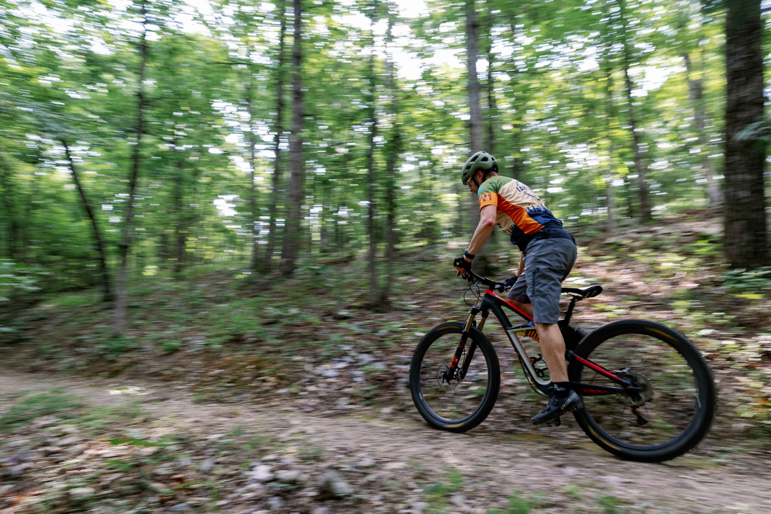
Sequoyah State Park, on Fort Gibson Lake near Hulbert in western Cherokee County, is a second place to ride. According to the park office, bikes are allowed on 11 of the trails on its official map. Mileages are from the park's March 2024 map:
| Trail | Miles |
|---|---|
| Sequoyah Paved TrailOut and back | 3.4 |
| Whispering Pines Trail System | 2.3 |
| Hackberry Gap TrailOut and back | 1.36 |
| Fitness Trail (Heart Healthy)Out and back | 1.26 |
| Deer Run TrailOut and back | 1.15 |
| Bluebird TrailOut and back | 1 |
| Eagle Roost Trail System | 1 |
| Three Forks Nature TrailOut and back | 0.96 |
| Nature Loop | 0.55 |
| Scissortail ADA Loop | 0.21 |
| Inspiration Point | 0.15 |
The paved trail is the easy choice for a hybrid or a family ride. Skip the Fossil Trail System on a bike, because it is rocky and not bike-friendly. For the lodge, fees and camping, see our Sequoyah State Park guide.
Where to fix a bike, eat and stay
Bike support
Paceline Cyclery, at 500 N. Muskogee Ave. downtown, is the local full-service shop. In business since 1987, it handles repairs, tune-ups and bike fitting and sells off-road bikes from entry-level hardtails to full suspension. Its Specialized dealer listing shows short Saturday hours and closed Sundays and Mondays. If you need a tube or a tire swap before a Sunday event, plan to stop by Saturday. Call 918-456-0235 to confirm hours, and ask directly about rentals before counting on one.
Food
Downtown Tahlequah, the capital of the Cherokee Nation, is compact and walkable, with most of its cafés along Muskogee Avenue. Kawi Café, at 215 S. Muskogee Ave., is a Cherokee Nation-owned café serving breakfast and lunch. Lift Coffee Bar, at 309 N. Muskogee Ave., is a coffee and wine bar for the morning before a ride or the evening after. Browse more options in our Eat & Drink directory.
Lodging
For event weekends, staying on the river puts you at the start line. Eagle Bluff Resort, the Gravel Smasher's start, lists campsites, RV sites and glamping. Call 918-456-3031 to ask about cabins, and book early: Smasher weekend is also the Pumpkin Holler Hunnerd running race. For a roof and a porch, browse cabins near Tahlequah or our guide to Illinois River cabins by river mile.
Common questions about Welling Ridge Trails
Class 1 e-bikes only, meaning pedal-assist with no throttle. Class 2 and Class 3 e-bikes, horses and motorized off-road vehicles are not allowed on the trails at any time, according to the Tahlequah Trails Association’s FAQ.
No. There are no user fees. The trails are open sun up to sun down, 365 days a year, unless the Tahlequah Trails Association closes them for weather, maintenance, events or unsafe conditions.
Yes. Little Brother and Big Brother are the green (easiest) trails, about 2.7 miles combined, and the parking lot has a bike skills track for warming up. The other nearly 6 miles are blue (more difficult), so newer riders can build up to Wildfire, Rocky Rogue and Hathaway Hollow.
Yes, on a leash. Welling Ridge is shared-use, so you will also meet hikers and trail runners. Call out early and slow down for people on foot.
Check the WRT - Trail Conditions Facebook group before you drive. Closures for rain, maintenance or events are posted there, and the Tahlequah Trails Association has the final say on when the trails are open.
Yes. According to the park office, bikes are allowed on the trails on its official map. Skip the Fossil Trail System, which is rocky and not bike-friendly. The 3.4-mile Sequoyah Paved Trail is the easiest option. See our Sequoyah State Park guide for the lodge, fees and camping.
Welling Ridge and fall gravel at a glance
| At a glance | Details |
|---|---|
| Welling Ridge Trails | 19679 S. 550 Road, Tahlequah. Just over 8.75 miles on 200 acres. Sun up to sun down, no user fees |
| Green trails | Little Brother, Big Brother (about 2.7 miles) |
| Blue trails | Wildfire, Rocky Rogue, Hathaway Hollow (nearly 6 miles) |
| Rules | Class 1 e-bikes only. No Class 2 or 3 e-bikes, horses or motorized vehicles. Leashed dogs welcome |
| Before you drive | Check the WRT - Trail Conditions Facebook group |
| Pumpkin Holler Gravel Smasher | Sun., Oct. 18, 2026. Eagle Bluff Resort. 30, 60 or 70 miles. 8 a.m. start |
| Illinois River Ramble | Sat., Nov. 14, 2026. Serenidad Ranch. 62 or 30 miles. Register by Oct. 25 for a free shirt |
Ready to plan the rest of the trip? See every trail on our hiking and biking in Cherokee County page, then pick a base from the cabins near Tahlequah.
Explore the Award-winning Visitor Guide
Tahlequah and Cherokee County's official Redbud Award-winning visitor guide packs three days of hikes, floats, rides, and fish into one download. Trip ideas, mileage, and outfitter contacts, ready before you leave home.